
Datei:Thailand location map.svg

Der Ömvang vun heh däm PNG-Minnibeldsche vun dä Ojinahl SVG-Datteij es: 341 Pixelle breed × 600 Pixelle huh. Ander Oplühsunge: 136 Pixelle breed × 240 Pixelle huh · 273 Pixelle breed × 480 Pixelle huh · 436 Pixelle breed × 768 Pixelle huh · 582 Pixelle breed × 1024 Pixelle huh · 1164 Pixelle breed × 2048 Pixelle huh · 1051 Pixelle breed × 1849 Pixelle huh.
Ojinaal-Dattei (SVG-Datei, de Basis es 1051 Pixelle breed × 1849 Pixelle huh, dä Dateiömfang es 662 KB)
Beschrievungstex un Zosammefassung
| Zosammefassung |
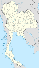
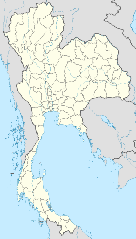
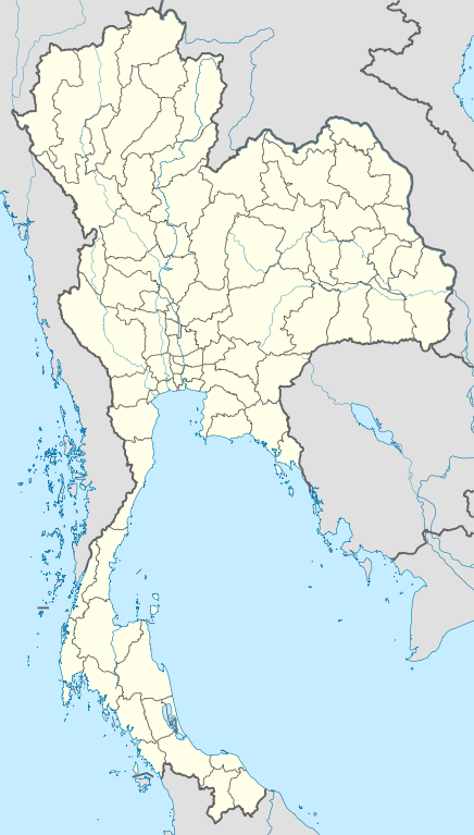
Deutsch: Positionskarte von Thailand
Quadratische Plattkarte, N-S-Streckung 103 %. Geographische Begrenzung der Karte:
English: Location map of Thailand
Equirectangular projection, N/S stretching 103 %. Geographic limits of the map:
|
| Et Dattum | |
| Quell |
Eije Werk, using
|
| Dä Urhävver | NordNordWest |

|
Diese Karte wurde in der Kartenwerkstatt erstellt oder verbessert. Auch du kannst dort Karten vorschlagen, die zu erstellen, verändern oder übersetzen sind.
|
Lizänz
Esh han et Urhävverääsch vun däm Wärk, un maachen dat Wärk öffentlesch unger dä Lizänze heh:

|
Do darfs heh dat Dokemänt kopeere un wigger jävve un och ändere onger dä Bedenonge vun dä su jenannte GNU Free Documentation License (dä freije Lizänz för Dokemäntazjuhne vun dä GNU) en dä Version 1.2 udder ene neuere Version, wi se veröffentlesch wood vun dä Free Software Foundation (Shteftong för Frei Projramme) met kein onveränderlesch Afschnedde, keine Täx om Ömschlaach un Boochdäckel.
En Kopie vun däm Täx vun dä Lizänz es en däm Afschned onger dä Övverschreff GNU Free Documentation License. |
He di Dattei es ze han under dä Bedengonge vun de Creative Commons ier Lizänz „met Namensnännong Version 3.0, nit potteet“.
- Ühr hat de Freiheit:
- dat Werk aan Andere wigger ze jävvee – dat Werrek zu koppeere, ze verdeijle, un ze övverdraare
- et neu affzemesche – dat Werk aanzepaße udder zeräsch ze maache
- Onger dä Bedengung(e) dat:
- Namensnännong – De moß däm singe Name nänne en dä Aat, wi dää, dä et aanjevange hät, udder dää, dä de Rääschte jez hät, dat faßjelaat hät, ävver nit op en Aat, di mer esu vershtonn künnt, wi wann dää Desch, udder Dinge Jebruch, dän_De vun däm Werrek mähß, joot'heiße udder aan'äkänne dät.
Do kanns Der en Lizänz ußsöhke.
De Väsjohne vun dä Dattei
Di domohlije Version kriß De jezeich övver dä Link op em Dattum.
| Väsjohn vom | Minni-Belldsche | Pixelle Breed×Hühte (Dateiömfang) | Metmaacher | Aanmärkong | |
|---|---|---|---|---|---|
| Von jetz | 15:05, 22. Mäz 2011 | | 1051 × 1849 (662 KB) | NordNordWest | update, new province |
| 20:00, 14. Apr 2009 |  | 1052 × 1849 (1,04 MB) | NordNordWest | corr | |
| 21:57, 29. Mäz 2009 |  | 1053 × 1852 (924 KB) | NordNordWest | corr | |
| 20:03, 29. Mäz 2009 |  | 1053 × 1852 (924 KB) | NordNordWest | corr | |
| 21:08, 28. Mäz 2009 |  | 1053 × 1852 (925 KB) | NordNordWest | {{Information |Description= {{de|Positionskarte von Thailand}} Quadratische Plattkarte, N-S-Streckung 103 %. Geographische Begrenzung der Karte: * N: 20.6° N * S: 5.4° N * W: 97.1° O * O: 106.0° O {{en|Location map of [[:en:Thailand|T |
Jebruch
Nix Lengk op heh di Dattei.
Jemeinsam jebruch Dateie
Heh di ander Wikis bruche di Dattei:
- Der Jebruch op af.wikipedia.org
- Der Jebruch op als.wikipedia.org
- Der Jebruch op an.wikipedia.org
- Der Jebruch op ar.wikipedia.org
- Der Jebruch op ast.wikipedia.org
- Der Jebruch op az.wikipedia.org
- Der Jebruch op ba.wikipedia.org
- Der Jebruch op be-tarask.wikipedia.org
- Der Jebruch op be.wikipedia.org
Loor donoh, woh heh di Dattei söns jebruch weed.