
Datei:Papua New Guinea location map.svg

Der Ömvang vun heh däm PNG-Minnibeldsche vun dä Ojinahl SVG-Datteij es: 800 Pixelle breed × 481 Pixelle huh. Ander Oplühsunge: 320 Pixelle breed × 192 Pixelle huh · 640 Pixelle breed × 385 Pixelle huh · 1024 Pixelle breed × 615 Pixelle huh · 1280 Pixelle breed × 769 Pixelle huh · 2560 Pixelle breed × 1538 Pixelle huh · 2280 Pixelle breed × 1370 Pixelle huh.
Ojinaal-Dattei (SVG-Datei, de Basis es 2280 Pixelle breed × 1370 Pixelle huh, dä Dateiömfang es 501 KB)
Beschrievungstex un Zosammefassung
| Zosammefassung |
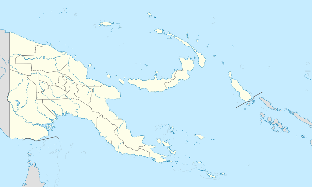
Deutsch: Positionskarte von Papua-Neuguinea
Quadratische Plattkarte. Geographische Begrenzung der Karte:
English: Location map of Papua New Guinea
Equirectangular projection. Geographic limits of the map:
|
| Et Dattum | 05-09-2008 |
| Quell |
own work, using
|
| Dä Urhävver | NordNordWest |
| Ander Väsjohne |
|


|
Diese Karte wurde in der Kartenwerkstatt erstellt oder verbessert. Auch du kannst dort Karten vorschlagen, die zu erstellen, verändern oder übersetzen sind.
|
Lizänz
Esh han et Urhävverääsch vun däm Wärk, un maachen dat Wärk öffentlesch unger dä Lizänze heh:

|
Do darfs heh dat Dokemänt kopeere un wigger jävve un och ändere onger dä Bedenonge vun dä su jenannte GNU Free Documentation License (dä freije Lizänz för Dokemäntazjuhne vun dä GNU) en dä Version 1.2 udder ene neuere Version, wi se veröffentlesch wood vun dä Free Software Foundation (Shteftong för Frei Projramme) met kein onveränderlesch Afschnedde, keine Täx om Ömschlaach un Boochdäckel.
En Kopie vun däm Täx vun dä Lizänz es en däm Afschned onger dä Övverschreff GNU Free Documentation License. |
He di Dattei es ze han under dä Bedengonge vun de Creative Commons ier Lizänz met „Namensnännong, un Wiggerjävve onger derselleve Bedengunge, Version 3.0, nit potteet“.
- Ühr hat de Freiheit:
- dat Werk aan Andere wigger ze jävvee – dat Werrek zu koppeere, ze verdeijle, un ze övverdraare
- et neu affzemesche – dat Werk aanzepaße udder zeräsch ze maache
- Onger dä Bedengung(e) dat:
- Namensnännong – De moß däm singe Name nänne en dä Aat, wi dää, dä et aanjevange hät, udder dää, dä de Rääschte jez hät, dat faßjelaat hät, ävver nit op en Aat, di mer esu vershtonn künnt, wi wann dää Desch, udder Dinge Jebruch, dän_De vun däm Werrek mähß, joot'heiße udder aan'äkänne dät.
- Wiggerjävve onger derselleve Bedengunge – Wann De dat Werk aanpaß, ömwandels, Der zeräsch mähß, udder drop opbouß, dann darrefs De dat, wat derbei eruß kütt, bloß onger derselleve Bedengunge, undder jannz ähnlesche Bedengunge wigger jävve, wi di Lizänz hee.
Do kanns Der en Lizänz ußsöhke.
De Väsjohne vun dä Dattei
Di domohlije Version kriß De jezeich övver dä Link op em Dattum.
| Väsjohn vom | Minni-Belldsche | Pixelle Breed×Hühte (Dateiömfang) | Metmaacher | Aanmärkong | |
|---|---|---|---|---|---|
| Von jetz | 17:48, 5. Jun 2012 | | 2280 × 1370 (501 KB) | NordNordWest | upd |
| 09:49, 26. Mai 2011 |  | 2280 × 1370 (767 KB) | NordNordWest | Reverted to version as of 19:42, 8 December 2009 no need to revert | |
| 01:00, 26. Mai 2011 |  | 2280 × 1370 (674 KB) | AlexR.L. | Reverted to version as of 19:51, 5 September 2008 | |
| 21:42, 8. Dez 2009 |  | 2280 × 1370 (767 KB) | NordNordWest | + rivers | |
| 21:51, 5. Sep 2008 |  | 2280 × 1370 (674 KB) | NordNordWest | {{Information |Description= {{de|Positionskarte von Papua-Neuguinea}} Quadratische Plattkarte. Geographische Begrenzung der Karte: * N: 0.6° S * S: 12.2° S * W: 140.4° O * O: 159.7° O {{en|Location map of [[:en:Papua New Guinea |
Jebruch
Nix Lengk op heh di Dattei.
Jemeinsam jebruch Dateie
Heh di ander Wikis bruche di Dattei:
- Der Jebruch op af.wikipedia.org
- Der Jebruch op als.wikipedia.org
- Vorlage:Positionskarte Papua-Neuguinea
- Port Moresby
- Bismarck-Archipel
- Neubritannien
- Duke-of-York-Inseln
- Admiralitäts-Inseln
- D’Entrecasteaux-Inseln
- Lavongai
- Westliche Inseln
- Feni-Inseln
- Lihir-Inseln
- Tabar-Inseln
- Tanga-Inseln
- St.-Matthias-Inseln
- Vitu-Inseln
- Neuirland
- Louisiade-Archipel
- Marshall-Bennett-Inseln
- Woodlark-Insel
- Trobriand-Inseln
- Mount Wilhelm
- Der Jebruch op an.wikipedia.org
- Der Jebruch op ar.wikipedia.org
- Der Jebruch op ast.wikipedia.org
- Puertu Moresbi
- Nueva Bretaña
- Montes Herzog
- Archipiélagu Bismarck
- Islles del Duque de York
- Tabubil
- Islla Daru
- Estrechu de Dampier
- Islles del Almirantalgu
- Monte Lamington
- Archipiélagu de les Lluisiaes
- Aeropuertu Internacional de Jacksons
- Aeropuertu de Guasopa
- Puertu de Dreger
- Módulu:Mapa de llocalización/datos/Papúa Nueva Guinea
- Módulu:Mapa de llocalización/datos/Papúa Nueva Guinea/usu
- Islles d'Entrecasteaux
- Provincia de Nueva Bretaña Occidental
- Islles Trobriand
- Kitava
- Vakuta
Loor donoh, woh heh di Dattei söns jebruch weed.