
Datei:Map of Peninsular Malaysia with third-level administrative divisions.svg

Der Ömvang vun heh däm PNG-Minnibeldsche vun dä Ojinahl SVG-Datteij es: 544 Pixelle breed × 600 Pixelle huh. Ander Oplühsunge: 218 Pixelle breed × 240 Pixelle huh · 435 Pixelle breed × 480 Pixelle huh · 696 Pixelle breed × 768 Pixelle huh · 928 Pixelle breed × 1024 Pixelle huh · 1857 Pixelle breed × 2048 Pixelle huh · 739 Pixelle breed × 815 Pixelle huh.
Ojinaal-Dattei (SVG-Datei, de Basis es 739 Pixelle breed × 815 Pixelle huh, dä Dateiömfang es 9,24 MB)
Beschrievungstex un Zosammefassung
| Zosammefassung |
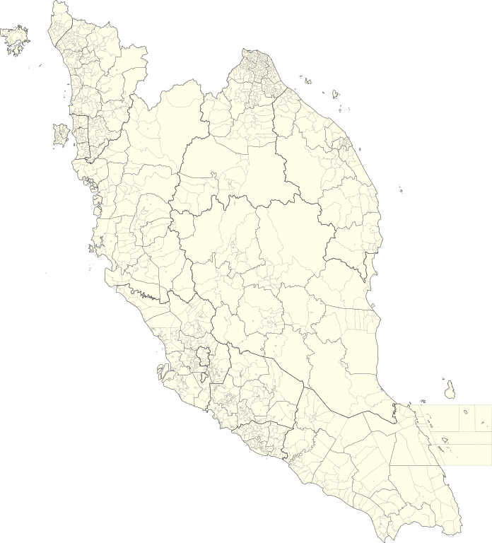
English: Map of Peninsular Malaysia with third-level administrative divisions (Mukim/Bandar/Pekan) |
| Et Dattum | |
| Quell | [1] via Unique Parcel Identifier (UPI) |
| Dä Urhävver | Unique Parcel Identifier (UPI) |
Lizänz
Diese Datei ist lizenziert unter der Creative-Commons-Lizenz „Namensnennung – Weitergabe unter gleichen Bedingungen 4.0 international“.
- Ühr hat de Freiheit:
- dat Werk aan Andere wigger ze jävvee – dat Werrek zu koppeere, ze verdeijle, un ze övverdraare
- et neu affzemesche – dat Werk aanzepaße udder zeräsch ze maache
- Onger dä Bedengung(e) dat:
- Namensnännong – De moß däm singe Name nänne en dä Aat, wi dää, dä et aanjevange hät, udder dää, dä de Rääschte jez hät, dat faßjelaat hät, ävver nit op en Aat, di mer esu vershtonn künnt, wi wann dää Desch, udder Dinge Jebruch, dän_De vun däm Werrek mähß, joot'heiße udder aan'äkänne dät.
- Wiggerjävve onger derselleve Bedengunge – Wann De dat Werk aanpaß, ömwandels, Der zeräsch mähß, udder drop opbouß, dann darrefs De dat, wat derbei eruß kütt, bloß onger derselleve Bedengunge, undder jannz ähnlesche Bedengunge wigger jävve, wi di Lizänz hee.
De Väsjohne vun dä Dattei
Di domohlije Version kriß De jezeich övver dä Link op em Dattum.
| Väsjohn vom | Minni-Belldsche | Pixelle Breed×Hühte (Dateiömfang) | Metmaacher | Aanmärkong | |
|---|---|---|---|---|---|
| Von jetz | 07:26, 10. Jul 2021 | | 739 × 815 (9,24 MB) | Zh9567 | Uploaded a work by [https://mygos.mygeoportal.gov.my/upi/ Unique Parcel Identifier (UPI)] from [https://github.com/justinelliotmeyers/Malaysia_Official_Boundaries_2021] via [https://mygos.mygeoportal.gov.my/upi/ Unique Parcel Identifier (UPI)] with UploadWizard |
Jebruch
Nix Lengk op heh di Dattei.
Jemeinsam jebruch Dateie
Heh di ander Wikis bruche di Dattei:
- Der Jebruch op en.wikipedia.org
- Der Jebruch op id.wikipedia.org
- Der Jebruch op ms.wikipedia.org
- Der Jebruch op zh.wikipedia.org