
Datei:Malacca location map.svg

Der Ömvang vun heh däm PNG-Minnibeldsche vun dä Ojinahl SVG-Datteij es: 800 Pixelle breed × 506 Pixelle huh. Ander Oplühsunge: 320 Pixelle breed × 202 Pixelle huh · 640 Pixelle breed × 405 Pixelle huh · 1024 Pixelle breed × 648 Pixelle huh · 1280 Pixelle breed × 810 Pixelle huh · 2560 Pixelle breed × 1620 Pixelle huh · 980 Pixelle breed × 620 Pixelle huh.
Ojinaal-Dattei (SVG-Datei, de Basis es 980 Pixelle breed × 620 Pixelle huh, dä Dateiömfang es 596 KB)
Beschrievungstex un Zosammefassung
| Zosammefassung |
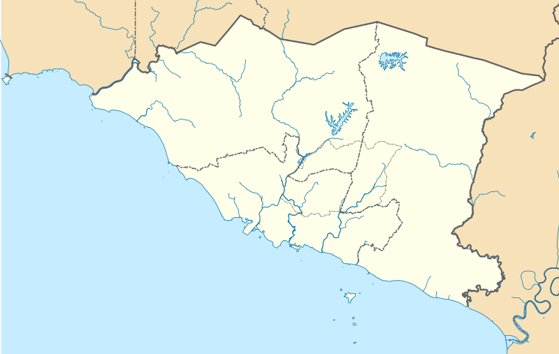
English: A map showing districts of Melaka (blank version) |
| Et Dattum | |
| Quell | Eije Werk |
| Dä Urhävver | Zh9567 |
Lizänz
Esh han et Urhävverääsch vun däm Wärk, un maachen dat Wärk öffentlesch unger dä Lizänz heh:
Diese Datei ist lizenziert unter der Creative-Commons-Lizenz „Namensnennung – Weitergabe unter gleichen Bedingungen 4.0 international“.
- Ühr hat de Freiheit:
- dat Werk aan Andere wigger ze jävvee – dat Werrek zu koppeere, ze verdeijle, un ze övverdraare
- et neu affzemesche – dat Werk aanzepaße udder zeräsch ze maache
- Onger dä Bedengung(e) dat:
- Namensnännong – De moß däm singe Name nänne en dä Aat, wi dää, dä et aanjevange hät, udder dää, dä de Rääschte jez hät, dat faßjelaat hät, ävver nit op en Aat, di mer esu vershtonn künnt, wi wann dää Desch, udder Dinge Jebruch, dän_De vun däm Werrek mähß, joot'heiße udder aan'äkänne dät.
- Wiggerjävve onger derselleve Bedengunge – Wann De dat Werk aanpaß, ömwandels, Der zeräsch mähß, udder drop opbouß, dann darrefs De dat, wat derbei eruß kütt, bloß onger derselleve Bedengunge, undder jannz ähnlesche Bedengunge wigger jävve, wi di Lizänz hee.
De Väsjohne vun dä Dattei
Di domohlije Version kriß De jezeich övver dä Link op em Dattum.
| Väsjohn vom | Minni-Belldsche | Pixelle Breed×Hühte (Dateiömfang) | Metmaacher | Aanmärkong | |
|---|---|---|---|---|---|
| Von jetz | 10:42, 13. Apr 2021 | | 980 × 620 (596 KB) | Zh9567 | minor |
| 08:59, 12. Apr 2021 |  | 980 × 620 (597 KB) | Zh9567 | Uploaded own work with UploadWizard |
Jebruch
Nix Lengk op heh di Dattei.
Jemeinsam jebruch Dateie
Heh di ander Wikis bruche di Dattei:
- Der Jebruch op en.wikipedia.org
- Malacca City
- Masjid Tanah
- Tanjung Tuan
- Ayer Keroh
- Merlimau
- Besar Island, Malacca
- Malacca Island
- Durian Tunggal
- Batu Berendam
- Tanjung Kling
- Bukit Katil
- Sungai Rambai
- Tanjung Bidara
- Wikipedia:WikiProject Malaysia/Cartography
- Portuguese Settlement, Malacca
- Simpang Ampat (Malacca)
- Hang Tuah Jaya
- Jasin (town)
- Linggi River
- Malacca
- Pengkalan Balak Beach
- Durian Tunggal Reservoir
- Sungai Udang Recreational Forest
- Alor Gajah Square
- Jus Reservoir
- Ayer Keroh Lake
- Ayer Keroh Square
- 1Malaysia Square
- Jasin Square
- Puteri Beach
- Bukit Batu Lebah Recreational Forest
- Klebang Beach
- Kuala Linggi Mangrove Recreational Forest
- Alor Gajah
- Konet Island
- Module:Location map/data/Malaysia Malacca
- Module:Location map/data/Malaysia Malacca/doc
- Undan Island
- Bukit Baru
- Upeh Island
- Der Jebruch op fr.wikipedia.org
- Der Jebruch op id.wikipedia.org
- Der Jebruch op ms.wikipedia.org
- Der Jebruch op os.wikipedia.org
Loor donoh, woh heh di Dattei söns jebruch weed.