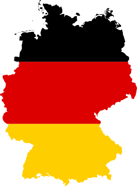
Datei:Flag map of Germany.svg
Erscheinungsbild

Der Ömvang vun heh däm PNG-Minnibeldsche vun dä Ojinahl SVG-Datteij es: 443 Pixelle breed × 600 Pixelle huh. Ander Oplühsunge: 177 Pixelle breed × 240 Pixelle huh · 354 Pixelle breed × 480 Pixelle huh · 567 Pixelle breed × 768 Pixelle huh · 756 Pixelle breed × 1024 Pixelle huh · 1513 Pixelle breed × 2048 Pixelle huh · 591 Pixelle breed × 800 Pixelle huh.
Ojinaal-Dattei (SVG-Datei, de Basis es 591 Pixelle breed × 800 Pixelle huh, dä Dateiömfang es 51 KB)
De Väsjohne vun dä Dattei
Di domohlije Version kriß De jezeich övver dä Link op em Dattum.
| Väsjohn vom | Minni-Belldsche | Pixelle Breed×Hühte (Dateiömfang) | Metmaacher | Aanmärkong | |
|---|---|---|---|---|---|
| Von jetz | 15:57, 11. Sep 2012 |  | 591 × 800 (51 KB) | Palosirkka | Scrubbed with http://codedread.com/scour/ |
| 00:14, 26. Jan 2011 |  | 591 × 800 (56 KB) | Fry1989 | {{Information |Description=Flag map of Germany |Source=*File:Germany_EU.svg *File:Flag_of_Germany.svg |Date=2011-01-25 23:11 (UTC) |Author=*File:Germany_EU.svg: *[[:File:ESC_2011_Potential_host_cities.svg|ESC_2011_Potential_host_cities.s |
Jebruch
Nix Lengk op heh di Dattei.
Jemeinsam jebruch Dateie
Heh di ander Wikis bruche di Dattei:
- Der Jebruch op ar.wikipedia.org
- براندنبورغ
- راينلند بالاتينات
- مكلنبورغ فوربومرن
- هسن
- فايمار
- دارمشتات
- غلزنكيرشن
- مونشنغلادباخ
- تسيله (قضاء)
- أويلتسن
- شتاده
- لونبورغ
- حوض الرور
- الطواويس (جزيرة)
- قناة كيل
- فيتنبرغ
- نيشتيتال
- فولدا (نهر)
- بادن بادن
- فرانكونيا السفلى
- فيتن
- شفابن (منطقة إدارية)
- دوسلدورف (منطقة)
- بالاتينات العليا
- هاغن
- فورسلن
- أودر
- بريجش
- بريج
- زولت (جزيرة)
- رون (سلسلة جبال)
- رور (نهر)
- آرنسبيرغ (منطقة)
- قالب:بذرة جغرافيا ألمانيا
- مونستر (منطقة إدارية)
- هوبستن
- ماسن
- بلاد مونستر
- شاله
- إمس
- ليبه (نهر)
- خليج وستفالي
- غلوكسبورغ
- أنغلن
- فلنسبورغ
- مندن
- بادربورن
- مولهاوزن (تورينغيا)
- زولينغن
- ساربروكن
Loor donoh, woh heh di Dattei söns jebruch weed.


